Shore Daily News Headlines


ESCC selected for Achieving the Dream
Apr. 16, 2024 | Daily News Headlines
Library of Virginia to bring mobile programming van to the Eastern Shore Public Library
Apr. 16, 2024 | Daily News Headlines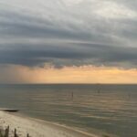
Severe Thunderstorm Watch
Apr. 15, 2024 | Daily News Headlines
CBBT opened 60 years ago today
Apr. 15, 2024 | Daily News Headlines
Friday afternoon fire destroys Bayside Road home
Apr. 15, 2024 | Daily News Headlines
Rocket Lab selected for a $32M US Space Force Space Systems Contract
Apr. 15, 2024 | Daily News Headlines
Local Sports

Weekly soccer update
Apr. 13, 2024 | Local Sports
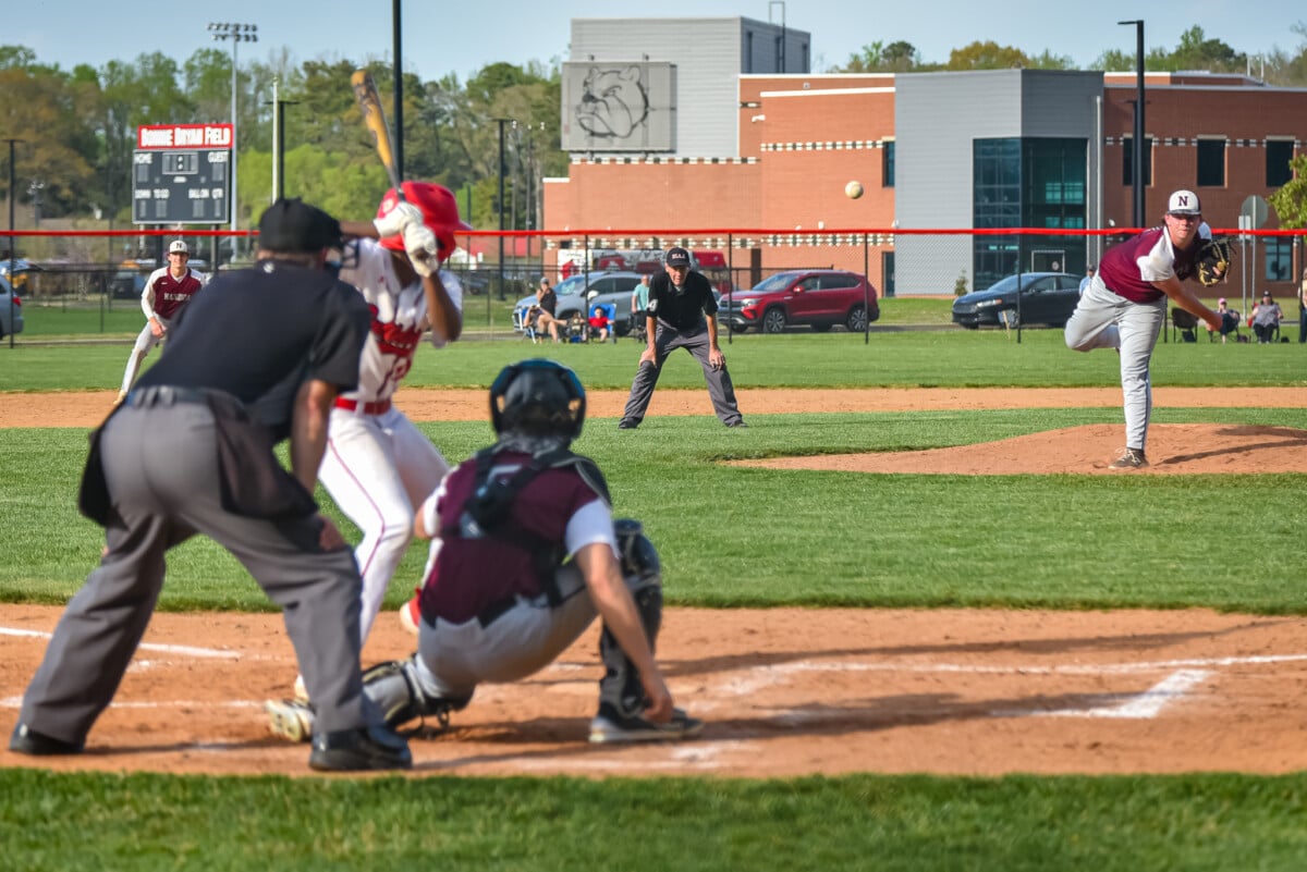
Hintz pitches perfect game in Wednesday night action
Apr. 11, 2024 | Local Sports
Tuesday night sports wrap up
Apr. 10, 2024 | Local Sports
Monday evening sports scores
Apr. 09, 2024 | Local Sports
Applications being accepted for Stewart R. Custis Memorial Scholarship
Apr. 09, 2024 | Local Sports
Long time Northampton coach to be inducted into National Wrestling Hall of Fame
Apr. 08, 2024 | Local Sports
Obituaries


William Tyler Colonna, Jr.
Apr. 15, 2024 | Obituaries
Faye Wilfong of Exmore
Apr. 11, 2024 | Obituaries
Mr. Peter Daniels of Painter
Apr. 10, 2024 | Obituaries
Mrs. Luagia Mapp formerly of the Shore
Apr. 10, 2024 | ObituariesMr. Lorenzo Rodrigues
Apr. 10, 2024 | ObituariesMr. Roland Williams
Apr. 10, 2024 | ObituariesListen Live!
Local Weather
April 16, 2024, 12:38 pm
Scattered clouds
64°F
64°F
11 mph
Apparent: 63°F
Pressure: 1022 mb
Humidity: 49%
Winds: 11 mph E
Windgusts: 31 mph
UV-Index: 5.57
Sunrise: 6:25 am
Sunset: 7:38 pm
Visit our sponsors

FOLLOW US
OUR ADVERTISERS


Member of the