Shore Daily News Headlines

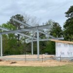
HOS Pavilion aims for 2025 opening
Apr. 25, 2024 | Daily News Headlines
Kiggans participates in regional agriculture day on ESVA
Apr. 25, 2024 | Daily News Headlines
Old Shore Memorial Hospital should be down to slab by end of next week
Apr. 24, 2024 | Daily News Headlines
Shore United Bank closing local branch
Apr. 24, 2024 | Daily News Headlines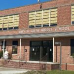
ES Boys and Girls Club to hold Summer Programs
Apr. 24, 2024 | Daily News Headlines
Multiple cases tried in Northampton Circuit Court Monday
Apr. 23, 2024 | Daily News Headlines
Local Sports

Tuesday night baseball and softball update
Apr. 24, 2024 | Local Sports
ESYCC to offer Summer camps
Apr. 24, 2024 | Local Sports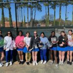
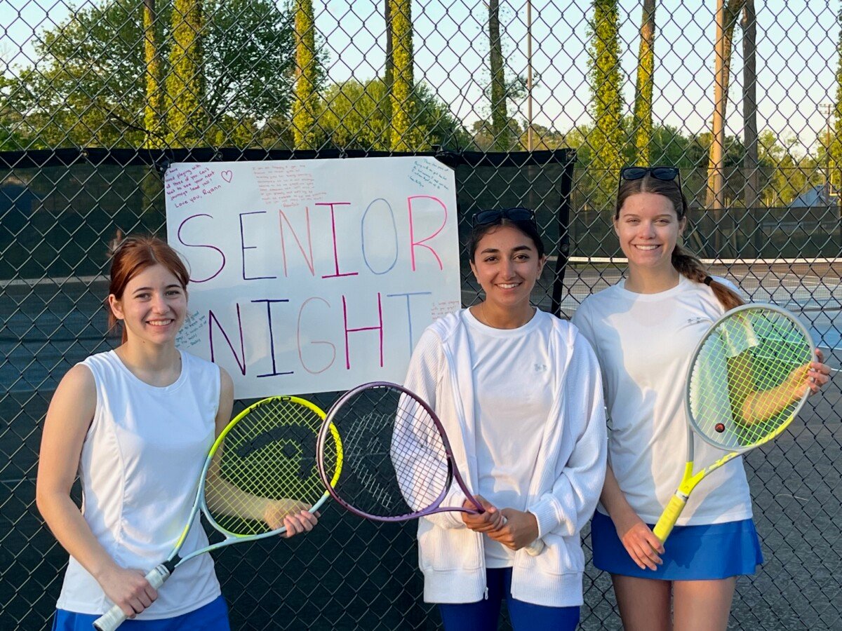
Northampton Tennis defeats Middlesex
Apr. 23, 2024 | Local Sports
Monday night baseball and softball update
Apr. 23, 2024 | Local Sports
Arcadia, Northampton, and Nandua compete in the Ken Lampert Invitational at Norfolk Academy on Saturday
Apr. 22, 2024 | Local Sports
Weekly soccer scores
Apr. 22, 2024 | Local Sports
Obituaries


Alberta Church
Apr. 25, 2024 | Obituaries
Gary Carson Keisel
Apr. 24, 2024 | Obituaries
Elder Mary Frances Anderson of Princess Anne
Apr. 24, 2024 | Obituaries
Wayne Lewis Boggs of Painter
Apr. 24, 2024 | Obituaries
Mr. Arele Williams of Atlantic
Apr. 24, 2024 | Obituaries
Mr. Terrell Thomas of New Church
Apr. 24, 2024 | ObituariesListen Live!
Local Weather
April 25, 2024, 3:11 pm
Scattered clouds
54°F
54°F
18 mph
Apparent: 53°F
Pressure: 1025 mb
Humidity: 75%
Winds: 18 mph ENE
Windgusts: 31 mph
UV-Index: 4.46
Sunrise: 6:13 am
Sunset: 7:47 pm

FOLLOW US
OUR ADVERTISERS


Member of the